Map of the Grounds, Circa 1880
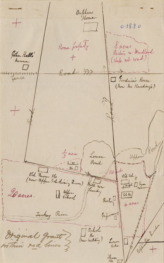
This hand-drawn map has the date “c. 1880” written in blue ballpoint pen, added well after it was made. Based on the content of the map it was most likely created before 1880. A few details of the map date it to sometime between 1878 and 1880 : The Gas House (present day Post Office), which was built in 1880, is not shown on this map; The Old School, Dr. Shattuck’s House, which burned on July 21, 1878, is shown; The School House is listed as “New Building” and was built between 1879 and 1880; the Grist Mill was converted to a laundry in 1878 – listed here as “Mill now Laundry”.
Browse similar images:

Browse similar entries using these tags:
Type: Map, Still Image
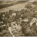
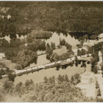
Location: Concord, NH, St. Paul's School
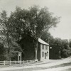
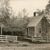
Building: Big Study, Chapel of St. Paul (Old Chapel), Dr. Shattuck's House (Original School), Lewis Cottage, Miller's House, No. 3, Old Gymnasium, Orphans' Home, Rectory, School, Vanished Building
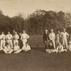
Rectorship: 1856-1895: First Rector H. A. Coit Years
Collection: 0001 - Photographs: General Collection
Additional Information:
Click HERE for detailed copyright information about this item.
"Map of the Grounds, Circa 1880." St. Paul's School. Ohrstrom Library Digital Archives. Web. 3 Aug. 2026.